The end goal
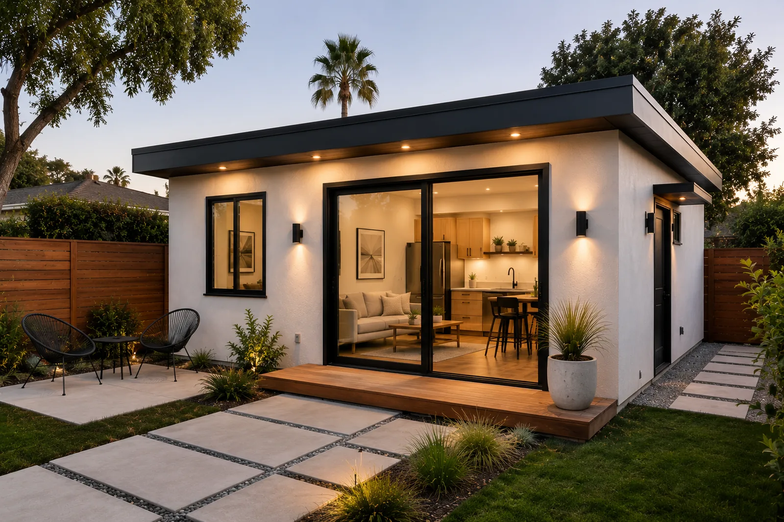
A second home where your yard is now
The footprint you drag on the map becomes a real, energy-smart home: a rental that pays the mortgage down, a place for family close by, or the quiet office you have been promising yourself.
- Engineered SIP shell, set in days rather than weeks
- Sized to California ADU rules from the start
- Built by our licensed builder, Elkins Build Group